Rosa Schröder · 21 October 2026
York's Coppergate District Balances Modern Development Needs With Archaeological Protection Measures
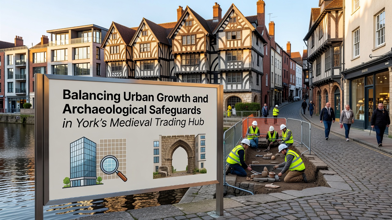
York's Coppergate area sits at the heart of the city's medieval trading networks and continues to draw attention from planners who must coordinate new building projects with strict heritage rules, and this tension has grown sharper as population pressures increase housing and commercial demands in the historic core. Researchers from the University of York have documented layers of Viking and Anglo-Scandinavian remains beneath current streets, which means any excavation for utilities or foundations triggers detailed recording protocols that extend project timelines and budgets.
Current Planning Framework and Regulatory Requirements
Local authorities apply the National Planning Policy Framework alongside specific guidance from Historic England, which requires developers to submit archaeological impact assessments before groundworks begin, and these evaluations often lead to in-situ preservation or full excavation when significant deposits appear. Data from the York Archaeological Trust shows that over 150 separate interventions have taken place in the Coppergate zone since 2010, each one producing records of timber buildings, craft workshops, and trade goods that illuminate the city's role as a North Sea commerce hub.
October 2026 marks the scheduled release of an updated city-wide heritage strategy that incorporates climate resilience modeling for subsurface structures, and this document will outline new monitoring standards for groundwater levels that affect buried timbers and organic materials. Observers note that the strategy draws on findings from similar projects in Scandinavian cities where comparable waterlogged deposits exist, allowing York planners to adopt tested techniques rather than start from scratch.
Techniques Used to Protect Buried Remains During Construction
Engineers now employ non-invasive geophysical surveys before any mechanical digging starts, and these methods include ground-penetrating radar plus electrical resistivity tomography that map anomalies without disturbing soil. When remains cannot stay in place, teams lift entire blocks of stratified deposits for laboratory analysis, a process that preserves contextual information about trade patterns and daily life in the medieval period. Figures from the Chartered Institute for Archaeologists indicate that such block lifts have increased by 35 percent in York over the past five years as more sites come under redevelopment pressure.
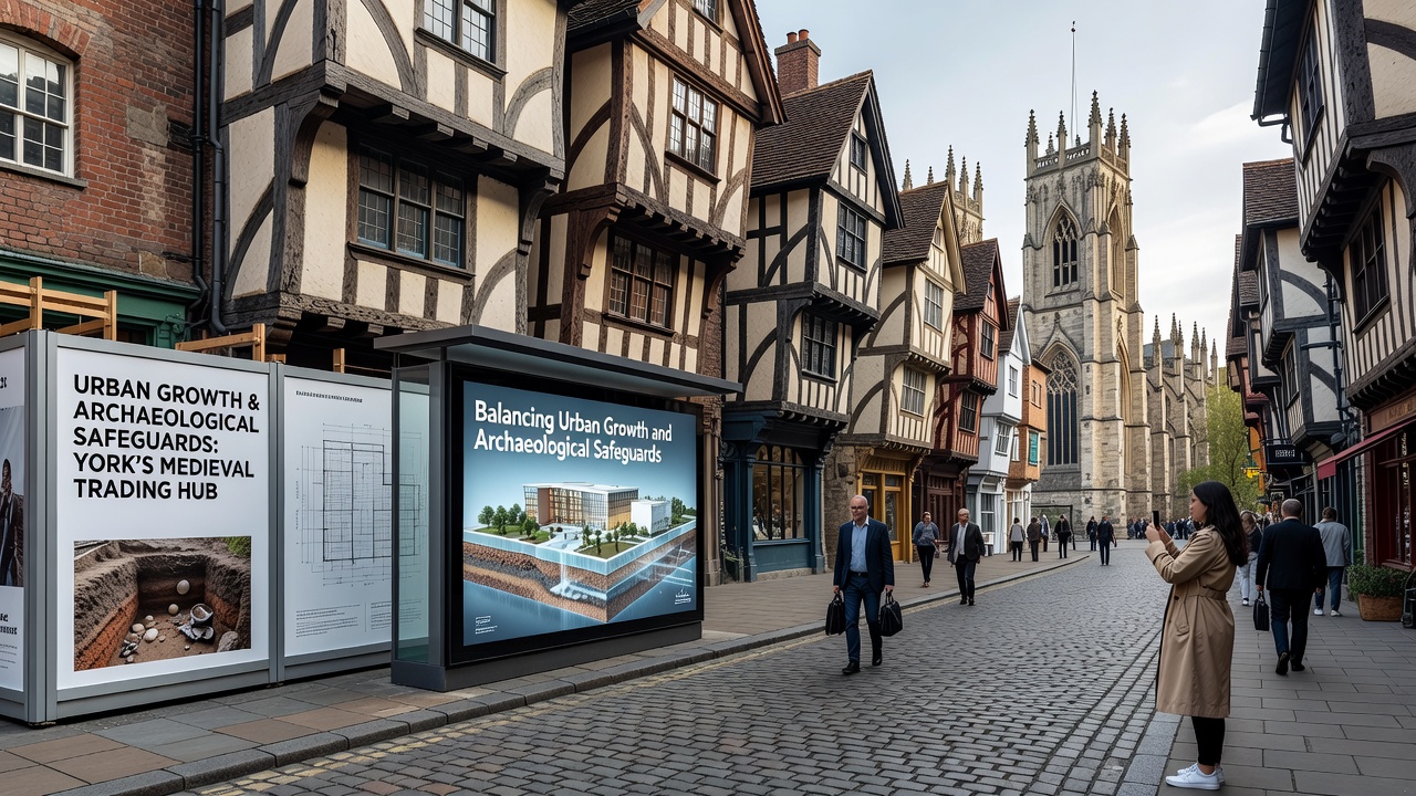
Construction firms integrate these safeguards into project schedules by allocating dedicated time slots for archaeological watching briefs, and this approach reduces last-minute delays once heavy machinery arrives on site. One study published in the Journal of Cultural Heritage Management and Sustainable Development examined five Coppergate redevelopment schemes and found that early collaboration between developers and heritage officers cut overall costs by an average of 12 percent compared with reactive interventions.
Community and Economic Impacts of Coordinated Heritage Management
Residents and businesses in the surrounding wards have seen both benefits and constraints from these balanced policies, because preserved sites often become public attractions that draw visitors and support local retail while new housing schemes provide much-needed accommodation for families priced out of central areas. Reports from the York and North Yorkshire Combined Authority highlight how heritage-led regeneration has contributed measurable footfall increases around completed Coppergate schemes, and those figures align with broader UK trends documented by the Association of Independent Museums.
International examples offer additional context for York's approach, and a comparable initiative in Bergen, Norway, demonstrates how strict oversight of medieval wharf remains can coexist with waterfront apartment construction when planners use modular foundation systems that span rather than penetrate sensitive layers. Australian heritage guidelines from New South Wales have also influenced York's monitoring protocols for fluctuating water tables, particularly the requirement for continuous sensor networks that alert conservators to changes threatening organic artifacts.
Future Outlook for Integrated Urban and Archaeological Planning
Digital modeling tools now allow planners to simulate multiple development scenarios against known deposit maps, and this predictive capacity helps identify routes that minimize disturbance before any permits are issued. Partnerships between the City of York Council and academic institutions continue to refine these models using fresh excavation data, ensuring that each new project adds to collective knowledge rather than simply repeating past efforts.
Conclusion
York's experience in the Coppergate district illustrates how regulatory frameworks, technical methods, and cross-sector collaboration can address competing demands for growth and preservation, and ongoing updates scheduled for October 2026 will likely refine these processes further as climate and urban pressures evolve. The record shows measurable progress in protecting significant remains while enabling necessary infrastructure improvements that keep the medieval trading hub functional in the present day.