Vera Frank · 7 October 2026
Groundwater Shifts Prompt New Monitoring Systems for York's Buried Trading District Cellars
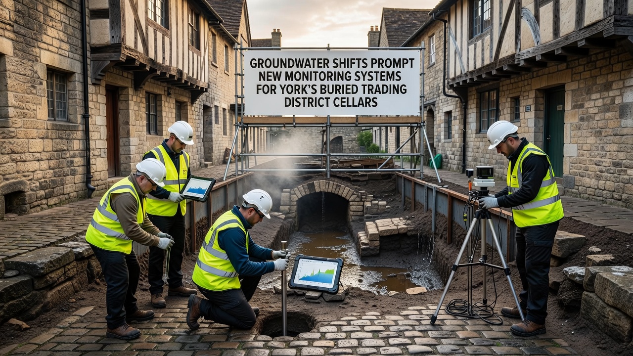
Groundwater levels in York's buried trading district have shown measurable shifts over recent years, and city authorities have responded by installing new sensor networks to track changes in real time. The cellars beneath the Coppergate area, which date back to medieval and earlier trading activities, sit at depths where even small fluctuations in water tables can affect structural integrity and artifact preservation. Data from piezometers placed at multiple points indicate seasonal variations that exceed previous baselines, prompting the rollout of automated systems designed to alert engineers before problems escalate.
Background on the Trading District Cellars
York's underground trading spaces formed over centuries as merchants expanded storage below street level to accommodate goods moving through the city. These cellars now lie beneath modern developments, and their condition depends on stable groundwater conditions that have changed alongside urban growth and altered rainfall patterns. Records maintained by local heritage groups show that several chambers experienced water ingress during periods of heavy precipitation, which led planners to examine long-term hydrological trends before committing to preservation work. Observers note that the interaction between surface drainage improvements and deeper aquifer behavior creates conditions where monitoring becomes essential rather than optional.
Causes of Recent Groundwater Changes
Shifts in groundwater arise from a combination of factors including modified river management along the Ouse, increased impermeable surfaces from construction, and variations in annual rainfall totals documented by meteorological services. The Environment Agency has published figures revealing that average groundwater recharge rates in parts of Yorkshire have declined by noticeable margins since the early 2000s, while localized spikes occur after intense storm events. Researchers at the British Geological Survey have mapped these patterns and identified zones where the water table now sits closer to cellar floors than it did two decades ago. Such findings prompted York officials to integrate continuous data collection rather than relying on periodic manual inspections alone.
Design and Deployment of New Monitoring Systems
Engineers selected a suite of sensors capable of measuring water pressure, temperature, and salinity at intervals as frequent as every fifteen minutes. These devices connect through wireless networks to a central dashboard that displays trends across the district. Installation crews worked in phases, beginning with the deepest accessible chambers and expanding outward to cover the full extent of the historic trading area. The systems incorporate redundancy so that a single sensor failure does not leave gaps in coverage, and calibration checks occur quarterly to maintain accuracy. Plans call for full operational status by October 2026, at which point authorities expect to begin publishing summarized data for public review.
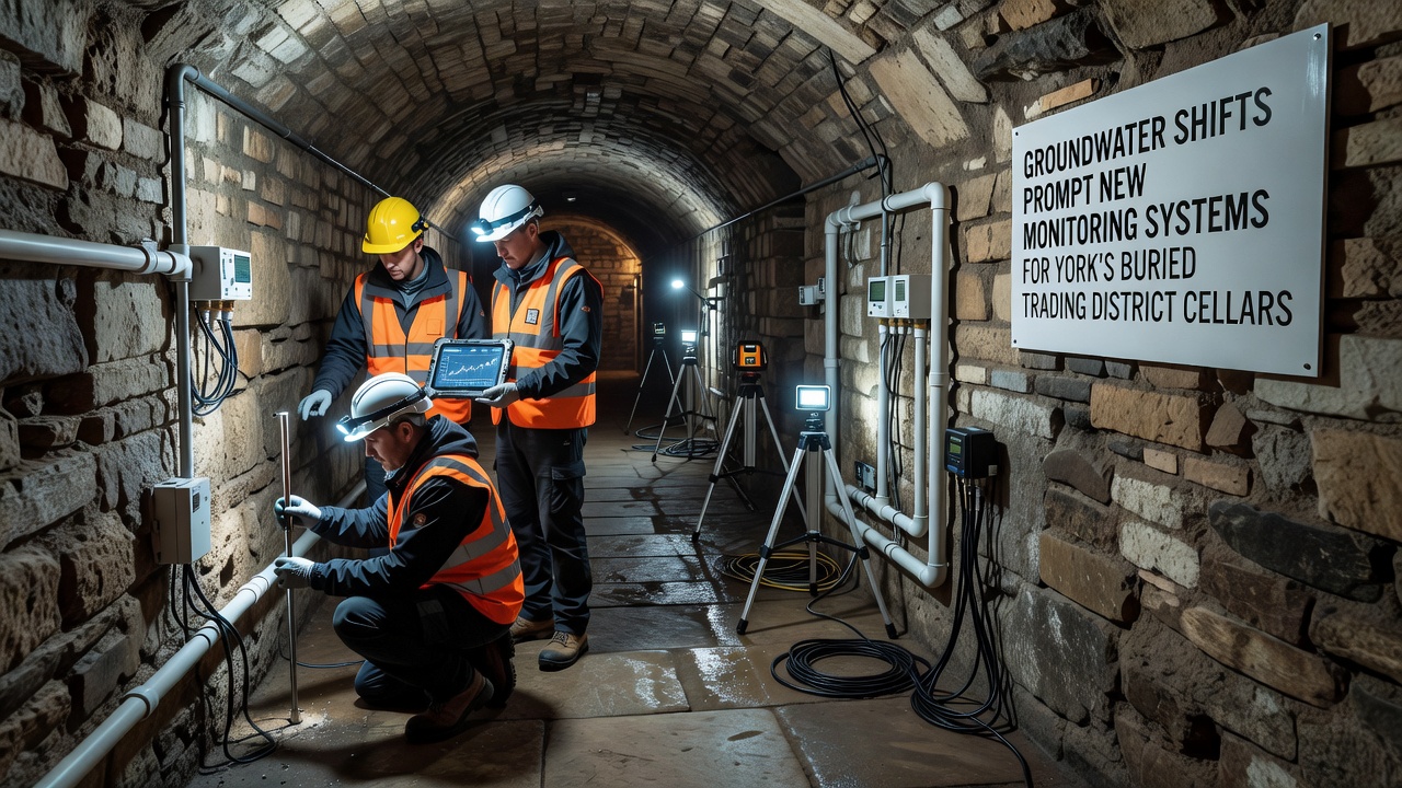
Additional probes track soil moisture above the cellars to help distinguish between surface water infiltration and deeper aquifer movements. This layered approach allows analysts to correlate events above ground with responses below, providing clearer cause-and-effect relationships than isolated readings could achieve. Technicians have already noted that certain chambers respond more quickly to rainfall than others, information that guides targeted maintenance rather than blanket interventions.
Integration with Broader Heritage Protection Efforts
The monitoring initiative aligns with existing programs that catalog and conserve York's archaeological resources. Data feeds from the new sensors supplement records held by the York Archaeological Trust, which has long tracked conditions in the Coppergate district. When readings indicate sustained rises or drops, teams can schedule inspections or temporary pumping before damage accumulates. European Environment Agency reports on urban groundwater management have influenced the choice of open-data standards, ensuring that findings remain accessible to researchers studying similar sites across different regions. One study from the University of British Columbia on comparable historic districts demonstrated that early detection reduces repair costs by significant percentages, a result that York planners reviewed during system design.
Community and Stakeholder Involvement
Local businesses operating above the cellars receive regular briefings on system performance, and property owners have been invited to contribute anecdotal observations about dampness or drainage. This collaboration helps validate sensor data against lived experience in the area. Training sessions for maintenance staff emphasize rapid response protocols, while public information sessions outline how the technology supports ongoing heritage work without disrupting daily activity. Figures released by city planners show that participation rates in these sessions have remained high since the project announcement.
Conclusion
The introduction of continuous groundwater monitoring marks a practical step toward safeguarding York's buried trading district cellars amid changing hydrological conditions. By combining sensor networks with established heritage records, authorities gain the ability to respond to shifts before they threaten structures or contents. Implementation continues through 2026, with data streams expected to inform both immediate maintenance decisions and longer-term planning for the district. The approach reflects methods already tested in other historic urban centers, adapted to York's specific subsurface environment.