Vera Frank · 9 September 2026
Digital Mapping Project Revives York's Ancient Viking Trade Connections for Learners
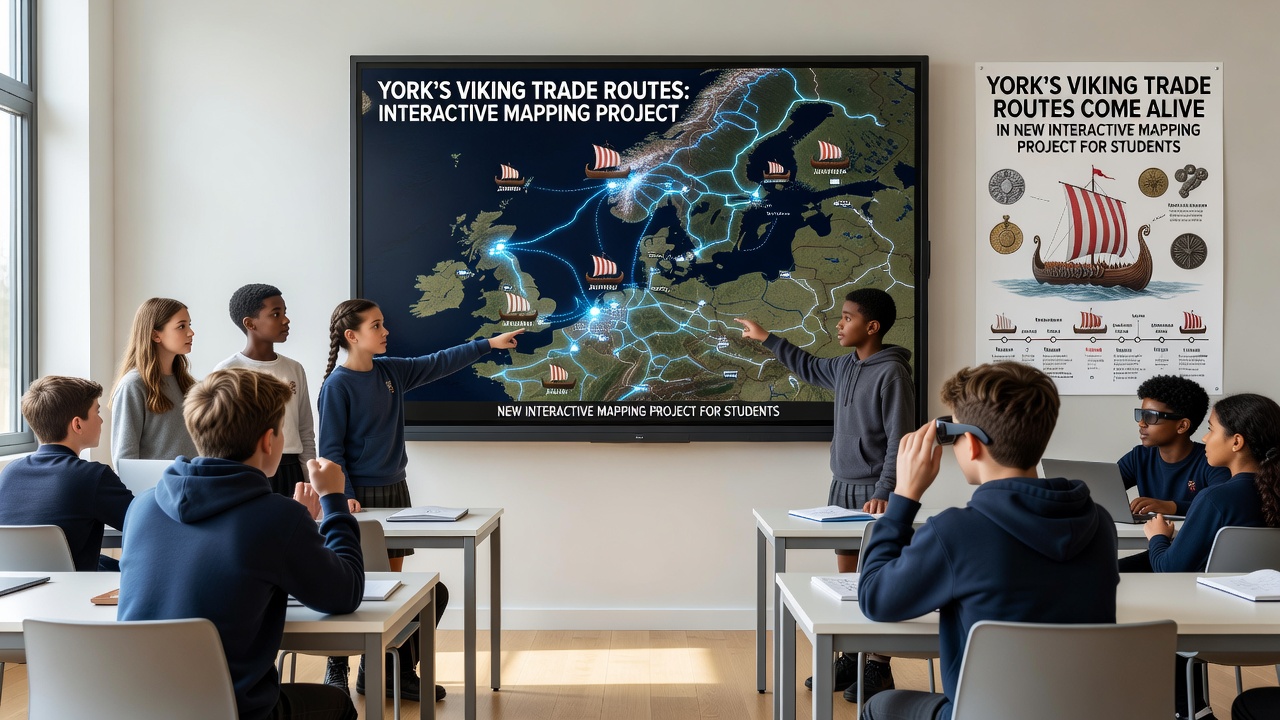
York's Viking heritage gains new visibility through an interactive mapping project designed specifically for students, and researchers have integrated archaeological records with digital tools to trace trade networks that once connected the city to distant regions. The initiative draws on data from excavation sites across the city, where artifacts such as coins, pottery, and textiles indicate connections to Scandinavia, the Baltic, and beyond, while the platform allows users to explore these routes layer by layer through timelines and geospatial overlays.
Project Origins and Development
Development began when local heritage organizations compiled findings from decades of digs, and experts at institutions like the University of Oslo collaborated to verify trade patterns documented in sagas and ledger fragments. Students access the tool via school portals, where they manipulate variables such as seasonal shipping routes or commodity types to observe how York functioned as a hub in the 9th and 10th centuries, and data from these interactions feeds back into refinements of the map itself.
September 2026 marks the scheduled rollout to secondary schools across Yorkshire, with training sessions planned for educators to integrate the resource into history curricula, while pilot groups in select classrooms have already tested navigation features that highlight port linkages to places like Dublin and Kiev. The system incorporates satellite imagery combined with reconstructed topography to show how rivers and roads facilitated movement of goods, and researchers note that amber, furs, and walrus ivory appear frequently in York deposits alongside items sourced from the Mediterranean.
Key Features of the Interactive Platform
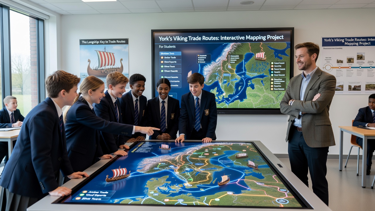
Users begin with a base map centered on the River Ouse, then toggle filters that reveal evidence clusters from specific periods, and clicking on any node opens associated finds with measurements and provenance details drawn from museum catalogs. Layers include wind patterns that influenced sailing times, market records translated from runic inscriptions, and population estimates that correlate with trade volume spikes, while animation sequences demonstrate how a single cargo vessel might have carried mixed loads across multiple stops.
One module focuses on textile trade, showing how York weavers incorporated techniques from Byzantine and Islamic sources, and another examines metalwork exchanges that linked local smiths to workshops in Francia. The design emphasizes evidence-based exploration, so every route segment links directly to source publications rather than interpretive summaries, and students can export their custom maps for assignments or group presentations.
Educational Integration and Data Sources
Curriculum developers aligned the project with national standards for medieval studies, and feedback from trial sessions shows improved retention of geographic facts when learners trace physical journeys instead of memorizing lists. Partnerships with regional archives supplied high-resolution scans of charters and ship manifests, while comparative datasets from Canadian research on Norse settlements in Newfoundland provide context on broader Atlantic networks without overlapping with UK records.
Access remains free for accredited educational institutions, and the backend logs anonymized usage patterns to identify which routes generate the most student queries, allowing curators to prioritize additional digitization efforts. Observers note that the platform avoids speculation by requiring all entries to cite at least two independent archaeological reports, and updates scheduled after the September 2026 launch will incorporate new LiDAR surveys from the surrounding countryside.
Broader Impact on Heritage Studies
Similar projects in other historic cities have demonstrated how digital mapping increases engagement among younger audiences, and York's version adds student-contributed annotations that undergo review before publication. Trade route visualizations also incorporate climate data from ice core samples to illustrate how weather shifts affected journey reliability, and cross-references to British Museum collections allow deeper dives into comparable artifacts held elsewhere. The approach supports independent research projects, where participants compare York's networks against those documented in continental Europe through linked academic repositories.
Conclusion
The mapping initiative consolidates scattered records into one accessible interface, and ongoing contributions from field archaeologists ensure the dataset expands as new evidence emerges. Students gain direct experience with primary sources through the platform, which in turn supports accurate reconstructions of York's role in early medieval exchange systems across multiple continents.