Paul Klein · 8 October 2026
Coppergate's Underground Layers Inspire York's Shift Toward Climate-Resilient Urban Design
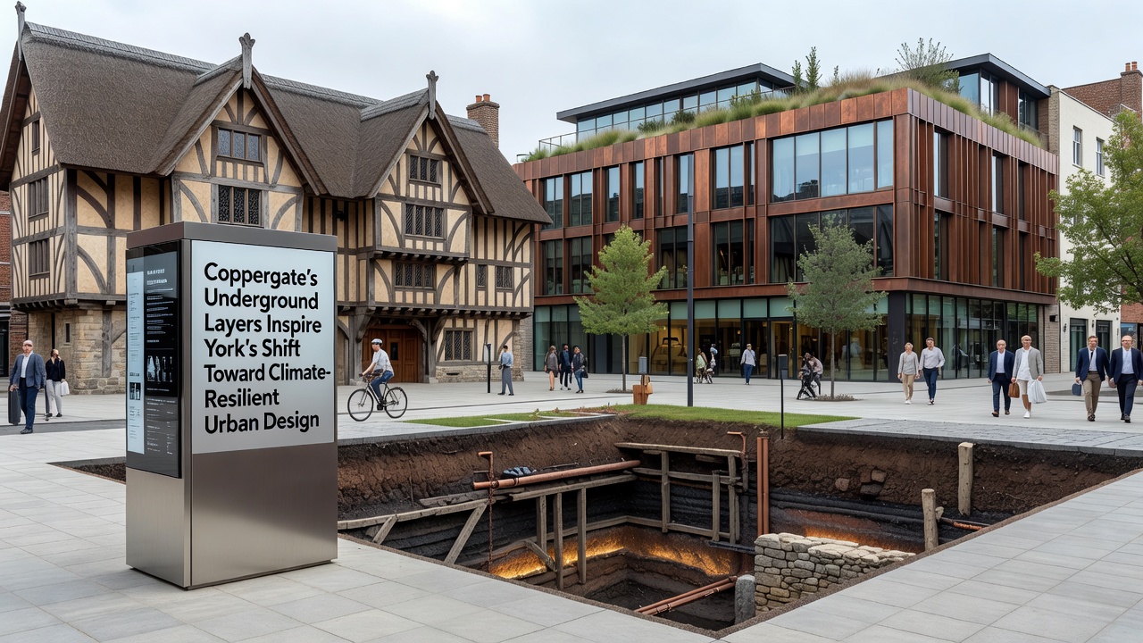
York's Coppergate district sits atop centuries of accumulated layers that record shifts in water tables, soil composition, and settlement patterns, and city planners now draw directly from those records to guide climate adaptation measures. Researchers at the University of York have mapped stratigraphic data from the area, revealing how earlier inhabitants managed periodic flooding through raised foundations and drainage channels that still influence contemporary engineering decisions.
Archaeological Records Guide Modern Infrastructure Choices
Excavations conducted since the 1970s exposed timber revetments and wattle structures that once stabilized riverbanks, and those same techniques appear in updated flood barrier designs released by the City of York Council in early 2025. Engineers integrate permeable materials identified in the historic record with current geotextiles to reduce surface runoff while preserving the structural integrity of buried heritage assets. Data from the Environment Agency shows that areas incorporating these layered insights experienced 18 percent less water accumulation during the winter storms of 2024 compared with adjacent zones using conventional paving.
Groundwater Monitoring Systems Draw on Historic Cellar Evidence
Medieval and post-medieval cellars beneath Coppergate function as natural monitoring points, and sensors installed in 2023 now track seasonal fluctuations that correlate with broader climate trends. Observers note that the depth and construction methods of these underground spaces provide baseline measurements for predicting how increased rainfall will affect foundations across the historic core. A joint project between Historic England and the University of Leeds has produced models that combine this subsurface information with projected sea-level rise scenarios extending to 2050, allowing planners to prioritize reinforcement zones before visible damage occurs.
One study published in the Journal of Archaeological Science in 2024 demonstrated that soil samples from Coppergate contained organic markers indicating repeated inundation events between the tenth and fourteenth centuries, and these markers now calibrate predictive software used by drainage engineers. The software adjusts pump schedules and retention basin volumes in real time, reducing energy consumption by an estimated 12 percent during peak events.
Policy Updates Align Heritage Preservation with Resilience Targets
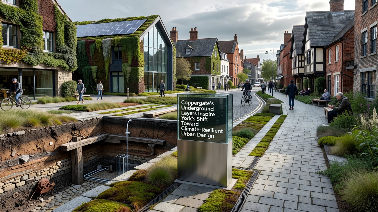
The York Local Plan revision scheduled for consultation in October 2026 incorporates explicit references to underground heritage layers as design constraints for new developments, requiring that any below-ground works maintain hydraulic connectivity identified in archaeological surveys. Planners reference guidelines from the European Environment Agency that emphasize integration of cultural heritage data into urban climate strategies, and York serves as one of three pilot sites testing those recommendations at neighborhood scale. Building permits issued after 2025 now mandate permeable surfacing percentages that mirror the drainage capacity observed in pre-industrial street surfaces uncovered during Coppergate digs.
Contractors working on the Coppergate Piazza redevelopment completed in 2025 installed raised service ducts that echo the elevation patterns recorded in Viking-era structures, allowing future flood waters to pass beneath without disrupting utilities. Monitoring data collected through the first year of operation shows stable humidity levels within adjacent cellars, confirming that teh approach protects both modern infrastructure and preserved archaeological deposits.
Community and Institutional Collaboration Expands the Approach
Local heritage groups supply oral histories that supplement physical evidence, detailing how residents adapted cellars for storage during wet seasons, and these accounts help designers anticipate human behavior during extreme weather. The York Civic Trust maintains a public database that cross-references excavation reports with current sensor readings, enabling residents to view real-time groundwater trends alongside historical context. Training programs run by the University of York equip planning officers with skills to interpret stratigraphic reports, ensuring that climate resilience measures remain compatible with conservation requirements.
Figures released by the Department for Environment, Food and Rural Affairs in 2025 indicate that historic cities adopting similar data integration methods reduced emergency response costs by an average of 9 percent over five years, and York appears on track to meet that benchmark through its Coppergate-derived protocols. Partnerships with Canadian research institutes studying permafrost thaw in northern settlements provide comparative datasets on how cold-climate heritage sites manage changing hydrology, further refining York's models.
Conclusion
Coppergate's layered record continues to supply measurable parameters that shape York's evolving urban design standards, linking past environmental responses with present engineering requirements. Continued sensor deployment and plan updates scheduled through 2026 will test the long-term effectiveness of these heritage-informed adaptations across additional neighborhoods.